How to Read a Community Lake As-Built Plan
A community lake as-built plan can answer questions that a site walk cannot, especially when a pond looks decorative but actually supports stormwater control. For HOAs, golf courses, and gated communities, the drawing helps connect each waterbody to its inlets, outlets, banks, access areas, and drainage purpose.
Reading the plan correctly also prevents maintenance mistakes. A treatment that improves appearance may still leave a blocked control structure, eroding bank, or altered discharge route. Start with the plan's identity, then follow the water and compare the drawing with current conditions.
Start with the plan's identifying information
Before studying lines and symbols, confirm that you have the correct drawing for the property and the correct version of that drawing. An as-built plan should describe what was constructed, but older or incomplete records may not show later changes.
Confirm the title block and plan set
Look for the project name, sheet title, drawing date, revision information, scale, north arrow, and legend. Check whether the sheet covers the entire community or only one phase, basin, roadway, or drainage area.
The title block may also identify the engineer, surveyor, contractor, agency, or approval reference. Those details help your board or property manager locate related permits, drainage plans, easements, and turnover documents.
Do not assume that a plan labeled "lake" covers every waterbody on the property. A multi-lake community may have separate retention ponds, canals, wetland edges, outfalls, and overflow areas. Each feature needs its own identification.
Match the drawing to the property
Give each waterbody a consistent name or map number, such as North Pond, Lake 2, or Golf Course Lake 3. Use the same identifier on inspection reports, service invoices, photographs, work orders, and board updates.
Walk the property with the drawing in hand. Match recognizable features such as roads, sidewalks, cart paths, homes, drainage swales, fences, and access gates. If the map shows a structure that cannot be found, record the discrepancy instead of silently treating the plan as current.
A community lake shoreline inspection checklist can help organize the field review. It provides a repeatable way to record water levels, shoreline condition, inlets, outlets, debris, and post-storm changes.
Understand what the plan says about each waterbody
The plan is more than a picture of a pond. It may show the function of the waterbody, its drainage connections, and the structures that control stormwater movement.
Identify retention and detention functions
A retention pond generally holds water on site for treatment, infiltration, evaporation, or approved discharge. It often has a permanent pool. A detention pond stores stormwater temporarily and releases it through a controlled outlet, although local terminology can vary.
A community may use the word "retention" for every pond. The approved drainage plans and permit documents provide a better answer. One property can contain both retention and detention features, and their maintenance needs may differ.
For a retention pond, water quality, aquatic vegetation, shoreline stability, and permanent water levels may receive more attention. For a detention feature, outlet function, storage capacity, erosion, sediment, and release conditions may be central concerns.
A pond's appearance does not tell you its drainage responsibility. The approved design and connected structures do.
Separate mapped features from current observations
The as-built plan shows the constructed layout. It does not automatically show today's algae coverage, water clarity, debris, erosion, equipment condition, or vegetation growth.
Create a separate lake profile for each basin. Record its approximate size if known, usual water level, visible plants, shoreline condition, odors, clarity, debris, aeration equipment, and nearby access points. Also note where residents, pets, golfers, or maintenance crews can reach the water.
This distinction matters when assigning work. A plan may show a littoral shelf or planted edge, but a current inspection determines whether plants remain healthy, have spread over an outlet, or have been damaged by erosion.
Trace how water moves through the property
Water movement is often the most useful part of an as-built plan. Follow the path from the drainage area into the lake, through the basin, and toward the outlet or downstream feature.
Locate inlets, outlets, pipes, and culverts
Mark every visible or mapped inlet, outfall, culvert, pipe, weir, overflow structure, control structure, and discharge route. Note the direction of flow where the plan provides it. Then identify which roads, parking areas, roofs, swales, fairways, or upstream ponds feed each location.
A problem upstream can affect more than one basin. Runoff may carry sediment, fertilizer, organic material, or debris into a first pond and then move downstream through a pipe or overflow.
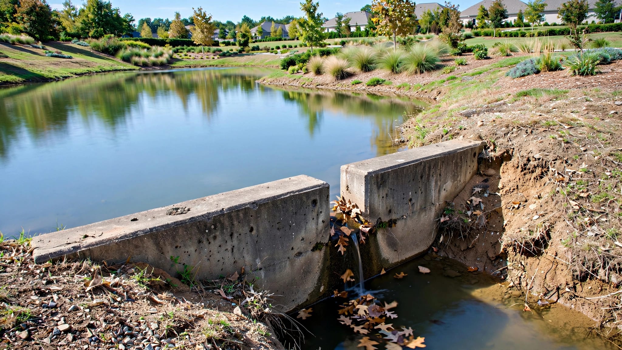
When inspecting an inlet or outlet, look for blockage, exposed pipe, damaged grates, fresh erosion, unusual sediment, and vegetation hiding the structure. Never enter a steep, soft, flooded, or unstable area to inspect it. Use safe access points and document what can be seen from shore.
Compare structures with storm conditions
A heavy rain event can reveal problems that remain hidden during dry weather. Check for washouts, cloudy water, new low spots, clogged structures, debris piles, and unusually high or low water levels.
If a community's plan shows an outlet that cannot be found in the field, treat that as a document and maintenance concern. The structure may be buried, obstructed, relocated, or incorrectly represented in the available records.
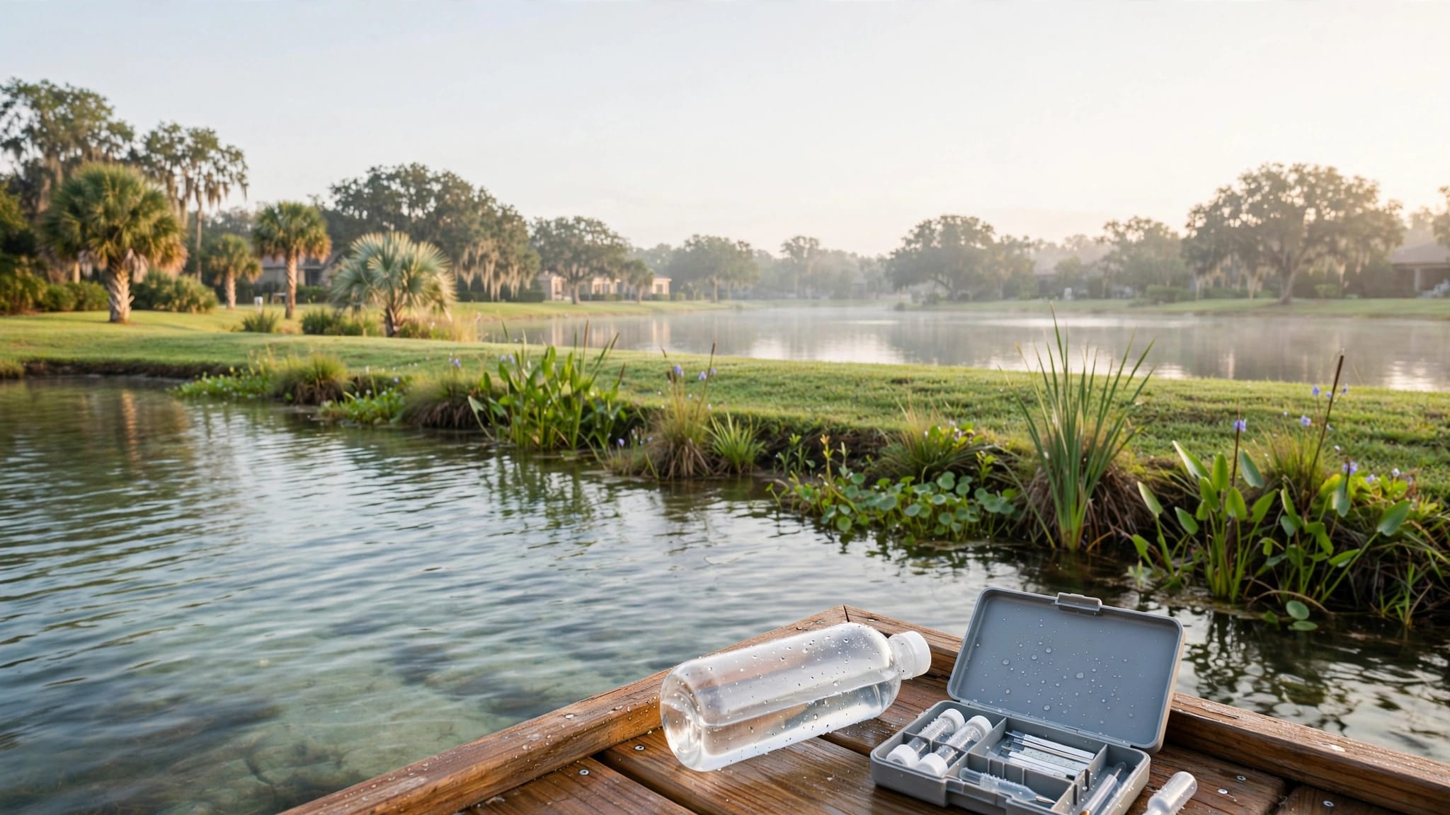
A routine monitoring and diagnostic testing guide can help separate visible symptoms from issues that require testing. Visual checks may identify a problem, while measurements such as dissolved oxygen, pH, alkalinity, nutrients, temperature, or turbidity may help explain it.
Read the shoreline, banks, and planted areas
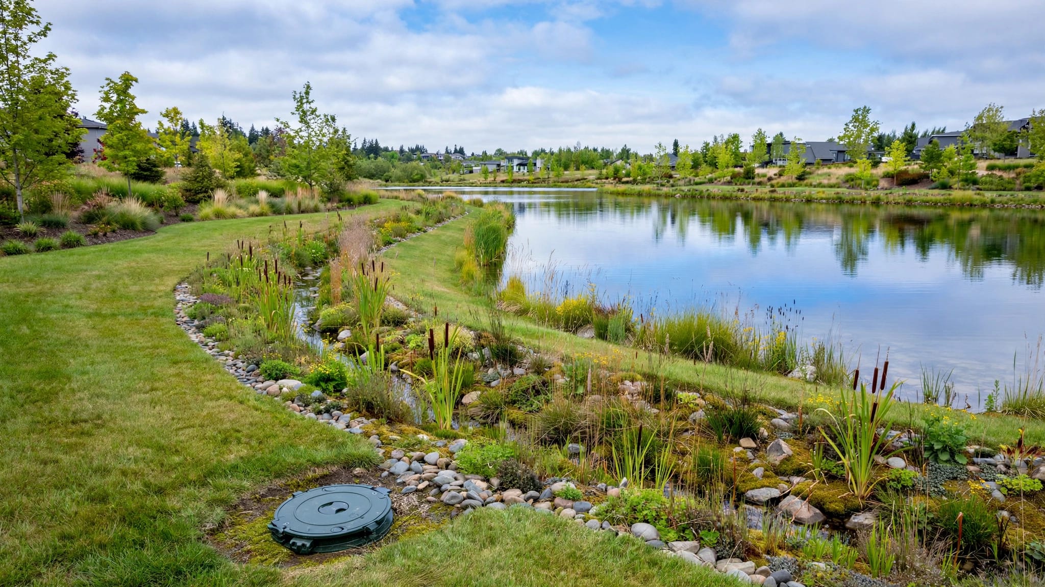
The plan may show the lake boundary, slopes, littoral shelves, stabilized areas, access points, and nearby improvements. These details matter because shoreline work can affect drainage, safety, appearance, and water quality.
Find erosion-prone areas
Compare mapped slopes and drainage points with current bank conditions. Pay close attention to shoreline sections near inlets, outlets, overflow routes, walking paths, cart paths, irrigation areas, and homes.
Look for exposed soil, sink spots, undermined edges, bare banks, sediment deposits, and fresh channels. A small weak area can expand during a major storm, especially where concentrated flow reaches the shoreline.
Chemical treatment will not repair a failed pipe, damaged embankment, or unstable bank. Those conditions may require an engineer, drainage contractor, shoreline specialist, or approval from the responsible authority.
Protect littoral plants and drainage features
A planted shoreline can support bank stability and water-quality goals, but vegetation should not hide a control structure, block an access route, or interfere with discharge. Identify which plants appear intentional and which growth may require attention.
Do not remove or alter littoral plants, banks, inflow pipes, control structures, or discharge routes solely because they look inconvenient. The approved plan may require those features, and unauthorized changes can create compliance problems.
Treatment work should follow the product label and the judgment of a properly licensed aquatic professional. Shoreline stabilization, erosion control, equipment repair, and structural work require the appropriate contractor for the task.
Compare the as-built plan with maintenance records
The plan becomes more useful when you compare it with dated photographs, service reports, storm notes, and repair history. This process shows whether a problem is new, recurring, or connected to a specific location.
Use consistent inspection points
Take photographs from the same safe shoreline locations during each visit. Record the lake name or number, date, approximate water level, weather conditions, and visible changes.
For routine inspections, note surface weeds, algae, odor, litter, water clarity, shoreline wear, debris, aeration equipment, inlets, and outlets. Many Florida communities can begin with monthly service, but properties with rapid growth, connected basins, frequent runoff, or sensitive structures may need more frequent attention.
After heavy rain, inspect for washouts, turbidity, clogged structures, debris, and new low spots. Seasonal reviews can reveal changes in bank stability, plant growth, and long-term water quality.
Match reported work to mapped locations
A useful service report should state the date, lake or basin visited, conditions observed, work completed, photos taken, and follow-up needed. "Lake maintenance completed" is too vague for a property with several waterbodies.
When a report mentions algae, verify which basin had the issue. When it mentions erosion, compare the location with the plan's drainage features. If a crew treats vegetation near an outlet, confirm that the outlet remained accessible and functional afterward.
Boards can use this guide to reviewing monthly HOA lake service reports to check whether reports contain enough detail for budgeting, follow-up, and accountability.
Turn the plan into a practical maintenance system
An as-built drawing should support decisions, not remain in a file that no one consults. Convert important plan details into a working lake map and a lake-by-lake maintenance schedule.
Build a property lake inventory
For each waterbody, record its name, location, function, connected drainage features, ownership or maintenance responsibility, access rights, nearby structures, and known equipment. The responsible party may be an HOA, master association, developer, golf club, condominium association, or separate contractor.
Keep the as-built plan with permits, easements, drainage maps, warranties, equipment records, maintenance logs, and prior inspection reports. If a board inherits incomplete records, list missing documents in writing and request them during turnover.
For vendor contracts, identify the required service areas by lake name or map location. A Florida HOA lake service RFP guide can help boards define inspection timing, post-storm checks, reporting requirements, treatment methods, and emergency contacts.
Set clear escalation points
Routine crews can document visible conditions, but recurring symptoms may need a more detailed investigation. Escalate when algae returns after treatment, water remains cloudy, fish show stress, odors persist, erosion expands, or an outlet repeatedly blocks.
Also escalate when the plan and field conditions disagree. A qualified professional can help determine whether the issue involves water quality, runoff, circulation, sediment, vegetation, structural damage, or a change that needs regulatory review.
Seabreeze Lake Maintenance holds Commercial Applicator License #CM28291 and State-Licensed Specialty Contractor #SCC131152136. Communities that need help connecting their plan to current conditions can Get a Free Lake Health Assessment.
Frequently asked questions
Is an as-built plan the same as a site map?
No. A basic site map may show property features and lake locations. An as-built plan is intended to document constructed conditions, drainage features, elevations, structures, and related design information shown in the plan set. Review the actual title block, legend, notes, and accompanying sheets to confirm its scope.
Can an HOA change plants or structures shown on the plan?
Not without checking the approved design, permits, ownership responsibilities, and applicable requirements. Littoral plants, banks, inflow pipes, control structures, and discharge routes may support the stormwater system. Maintenance should preserve required functions unless the appropriate professionals and authorities approve a change.
How often should the plan be compared with field conditions?
Compare it during the initial property inventory, after major construction or repairs, during regular inspections, and after heavy storms. A monthly review may fit many Florida communities, while connected lakes or properties with repeated drainage problems may need more frequent checks.
What should a board do if the drawing does not match the site?
Document the discrepancy with the lake identifier, location, date, photographs, and observed condition. Avoid moving or altering the feature until the responsible engineer, contractor, authority, or qualified lake professional determines what changed and what action is appropriate.
Conclusion
Reading a community lake as-built plan means following more than the shoreline outline. Identify each basin, understand its drainage purpose, trace the water path, locate control structures, and compare the drawing with current inspections.
The strongest maintenance decisions come from combining approved plans with dated field records. That approach helps HOAs, golf courses, and gated communities protect stormwater function, property appearance, shoreline stability, and long-term budgets.
Recent Posts